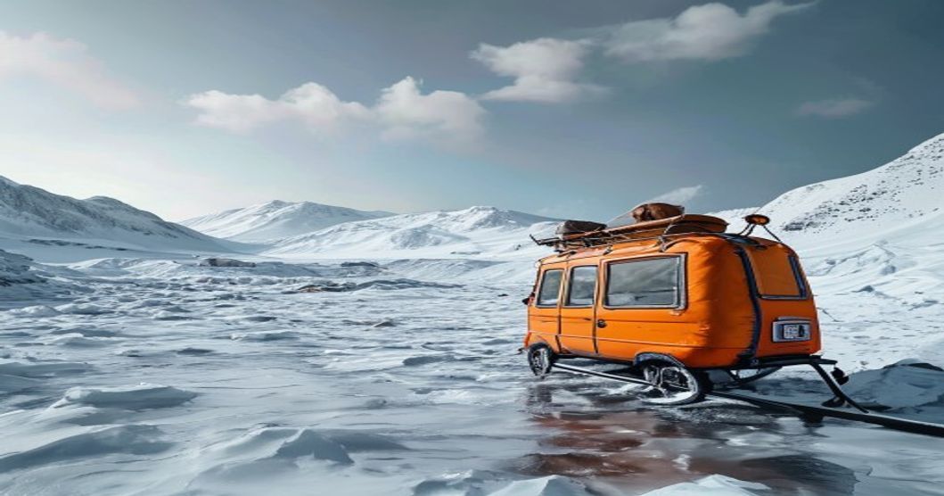
The Foundation of Sami Ice Navigation
Reading the Wind and Snow Patterns
The Sami people developed a highly refined system of environmental reading that allowed safe passage across frozen fjords, rivers, and tundra. Experienced travelers analyzed drift snow formations, wind-scoured ridges, and ice crust textures to determine safe crossing points. Dense, wind-packed snow indicated stable terrain, while soft, powdery drifts often concealed thin ice or hidden crevasses. By tracking the direction of prevailing winds and observing how they sculpted snow into sastrugi, navigators could predict subsurface ice thickness and avoid structurally compromised zones. This tactile reading of the landscape reduced reliance on visible landmarks during whiteout conditions.
Celestial Wayfinding in Polar Darkness
During extended periods of polar night, the Sami relied on stellar navigation to maintain course across featureless ice sheets. The constellations Ursa Major and Cassiopeia served as primary reference points, while seasonal stars like Sirius and Orion helped calibrate directional bearings. Travelers mapped their routes using lunar phases and the position of the sun during twilight windows, noting subtle shifts in light reflection off ice surfaces to maintain orientation. This celestial literacy was passed orally through generations, ensuring that route-finding remained accurate even when terrestrial markers were buried under fresh snowfall.
Traditional Tools and Natural Instruments
Crafting Compasses from Magnetic Minerals
Before modern magnetic compasses became widespread, Sami navigators utilized lodestone fragments suspended on sinew threads or floated in water-filled bone containers to determine north. These early compasses were calibrated against known mountain peaks and established reindeer migration corridors. Artisans shaped wooden sighting boards with notched edges to align celestial bodies with terrestrial features, creating rudimentary but highly effective angle-measuring instruments. The calibration process required precise knowledge of local magnetic declination, which varied across Fennoscandia and northern Russia.
Tracking Landmarks Through Whiteouts
When visibility dropped below fifty meters, travelers depended on tactile and auditory navigation cues. The acoustic signature of wind moving across different ice types provided depth and distance estimates. Hollow sounds indicated thicker ice, while muffled or cracking noises warned of thaw zones. Navigators also used rope-guided team formations, where lead travelers marked safe paths with wooden stakes or carved snow markers, allowing following members to maintain alignment without visual contact. This method proved critical during blizzards that erased all surface references.
Survival Mechanics on Frozen Terrains
Constructing Safe Ice Routes and Avoiding Thaw Zones
Ice route planning required precise knowledge of water currents, thermal vents, and vegetation patterns along shorelines. Darker ice patches often signaled deeper water flow or emerging melt channels, while milky-blue sections indicated dense, air-free freeze layers capable of supporting heavy loads. Travelers marked safe corridors using birch bark bundles and reindeer antler waypoints, ensuring return journeys could be retraced accurately. Crossing points were always selected near river bends or fjord inlets where water movement naturally reinforced ice stability.
Temperature Management and Gear Preservation
Exposure to temperatures below minus thirty degrees Celsius demanded strict thermal regulation protocols. The Sami layered garments using reindeer fur, prioritizing windproof outer shells over insulated mid-layers to prevent sweat accumulation. Moisture management was critical; damp clothing rapidly conducted heat loss and caused frostbite within minutes. Travelers packed fat-coated linen strips to seal footwear seams, used hollowed wood handles on tools to prevent thermal conduction, and stored fire-starting materials inside insulated reindeer stomach pouches to maintain dryness.
Seasonal Migration Patterns and Route Planning
Decoding Reindeer Trails for Human Travel
Reindeer migration routes served as the primary infrastructure for human winter travel. Herds naturally selected paths with compressed snow, wind exposure, and proximity to lichen pastures, creating reliable corridors across otherwise impassable terrain. Navigators studied hoof compaction depth, track spacing, and directional consistency to identify safe passages. These animal-established routes also avoided avalanche-prone slopes and thin ice areas, providing a biologically optimized network that humans adapted for trade, communication, and seasonal relocation.
Adapting to Extreme Arctic Weather Shifts
Rapid atmospheric pressure changes in the High North could transform traversable ice into lethal conditions within hours. Sami travelers monitored barometric indicators through bone fracture patterns, wool garment tension, and animal behavior shifts. When snow turned granular or wind direction reversed unexpectedly, routes were immediately abandoned in favor of temporary snow shelters constructed from windward ice blocks. Emergency protocols dictated carrying compact sled configurations, spare lashings, and dried meat rations to sustain movement during forced detours. This adaptive flexibility ensured survival across centuries of unrecorded Arctic expeditions.
Frequently Asked Questions about Sami Ice Travel Techniques
What is Sami Ice Travel Techniques?
Sami Ice Travel Techniques refer to the traditional and modern methods used by the Sami people to navigate, traverse, and travel across frozen landscapes and icy terrains in the Arctic regions. These techniques encompass ice fishing routes, reindeer sled navigation, snowshoeing, and survival strategies adapted to extreme cold and seasonal ice conditions.
Key facts about Sami Ice Travel Techniques
Key facts include: (1) They are deeply rooted in centuries-old Sami cultural heritage and indigenous knowledge. (2) Routes are carefully chosen based on ice thickness, wind patterns, and wildlife migration. (3) Traditional tools like reindeer-drawn sleds and hand-carved skis are often combined with modern GPS and safety gear. (4) These methods prioritize sustainability, safety, and minimal environmental impact in fragile Arctic ecosystems.