")
Sámi Navigation Secrets: Ancient Arctic Wayfinding Using Nature’s Clues
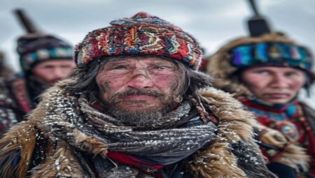
The Sámi peoples have historically traversed the unforgiving Boreal and Arctic landscapes of Scandinavia, Finland, and Russia through a sophisticated system of environmental literacy. This wayfinding methodology relies on continuous observation of micro-topographical shifts, atmospheric pressure changes, and celestial mechanics. Unlike compass-dependent navigation, traditional Sámi routing prioritizes terrain memory and ecological signaling, allowing travelers to maintain directional accuracy across featureless tundra or dense taiga corridors.
Reading the Snow and Ice Terrain
Snow accumulation patterns reveal underlying topography, with wind-scoured ridges indicating stable ground while deep drifts signal potential crevasse fields or watercourses. The Sámi distinguish between kuiva (dry, compacted snow) suitable for rapid travel and pöly (powdery drift) that requires detouring to avoid energy depletion. Ice thickness is assessed through acoustic resonance when struck with poles, while color gradients from white to blue correlate with structural integrity and melt-risk zones.
Stellar and Lunar Orientation Methods
Astronomical navigation remains critical during extended daylight or polar night conditions. The Sámi utilize the Polaris alignment alongside circumpolar constellations like Ursa Major and Orion’s Belt to establish cardinal bearings. During the midnight sun, travelers track solar arc deviations using shadow sticks and horizon landmarks. Lunar phases dictate travel pacing, with full moons enabling night navigation while new moons require strict reliance on terrestrial markers.
Wind Patterns and Atmospheric Cues
Prevailing wind directions serve as implicit compasses across open plateaus. The Sámi monitor katabatic flows descending from mountain ranges, which indicate valley orientations and potential avalanche zones. Pressure drops manifest through altered bird flight patterns and snow crystal formation, signaling approaching storms that necessitate immediate shelter positioning relative to prevailing wind axes.
Vegetation, Lichen, and Micro-Climate Indicators
Ground flora provides reliable directional data in forested sectors. Lichen-dominated slopes typically face north due to reduced solar radiation, while moss density increases on southern exposures where moisture retention is higher. Birch bark orientation and tree lean angles reveal persistent wind corridors, enabling travelers to predict micro-climate boundaries and locate sheltered river crossings.
Faunal Signatures and Behavioral Navigation
Animal movement patterns function as real-time environmental surveys. Reindeer migration routes follow established thermal corridors and mineral-rich lichen pastures, offering predictable travel lanes. Bird flock trajectories indicate open water locations beneath ice cover, while fox tracks through deep snow reveal safe passage over thin crusts. Tracking these biological markers reduces navigational uncertainty during whiteout conditions.
Oral Transmission and Cognitive Mapping Techniques
Navigational knowledge transfers through oral topographical narratives, where route descriptions encode elevation changes, water crossings, and hazard zones within mnemonic structures. Travelers develop situational memory palaces by associating landmarks with seasonal events, enabling mental route reconstruction when visual references vanish under snowfall or darkness.
Environmental Variables and Seasonal Adaptations
Polar Night versus Midnight Sun Orientation
Seasonal light extremes demand distinct navigational protocols. During the polar night, travelers rely on star compasses calibrated to local magnetic declination, adjusting bearings monthly to account for celestial drift. The midnight sun requires shadow manipulation techniques and horizon-based bearing retention, as solar elevation remains nearly constant while azimuth shifts rapidly across the sky.
Ice Drift Dynamics and Route Recalculation
River and coastal ice movement necessitates continuous route verification. Sámi navigators monitor raft ice formation patterns, where fragmented floes indicate current direction and velocity. By calculating drift trajectories against fixed terrestrial waypoints, travelers adjust course angles to intercept safe crossing points before structural collapse occurs.
Cross-Cultural Parallels andTraditional Sami Navigation Techniques
Sami navigators survived subarctic expeditions without compasses. They read landscape microforms for directional cues. They memorized seasonal sightlines across frozen plateaus. Their methods relied on continuous environmental feedback loops.
Arctic Terrain Analysis and Route Planning
Navigators mapped drumlin fields and esker ridges for elevation markers. They avoided frozen bogs by tracking wind exposure patterns. Route selection depended on groundfast ice thickness near lakes. Travelers calculated distance using step count and breath cycles.
Celestial Positioning Using Stars and Solar Arcs
The Polaris arc provided fixed north reference during winter months. Summer navigators tracked the midnight sun path against mountain silhouettes. They used star rise azimuths to align with valley corridors. Solar altitude measurements corrected latitude drift during long treks.
Environmental Reading: Wind, Snow Drifts, and Ice Formation
Sastrugi formations indicated prevailing wind direction across plateaus. Snow bridges over crevasses revealed hidden river routes. Frost flowers on ice surfaces signaled temperature drops ahead. Navigators read wind scour patterns to locate sheltered valleys and safe crossing points.
Reindeer Migration Paths and Terrain Signatures
Herd trails followed mineral-rich soil and lichen bed locations. Navigators tracked antler scrape marks on pine trunks for elevation changes. Moss growth direction on boulders confirmed moisture exposure. Migration corridors doubled as reliable winter highways across frozen tundra.
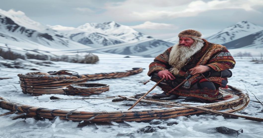
Physical Tools: Knotted Cords and Birch Bark Maps
Knot sequences encoded distance intervals and terrain warnings. Birch bark strips recorded river confluences and camp sites. Lichen dyes marked directional boundaries on storage pouches. These portable records survived moisture exposure and repeated handling.
Memory Aids and Generational Knowledge Transfer
Elders taught landscape mnemonics through seasonal storytelling. Children memorized rock formation names linked to cardinal directions. Song cycles preserved route sequences across generations. Oral transmission prevented data loss during forced relocations.
GPS Calibration Against Historical Navigation Baselines
Modern satellite data validates traditional sightline accuracy across remote zones. Field tests show historical route efficiency matches algorithmic pathfinding. Navigators corrected signal drift using terrain contour matching. This hybrid approach improves survival outcomes in signal-denied environments.
Frequently Asked Questions
What is Traditional Sami Navigation Techniques?
Traditional Sami navigation techniques refer to the ancient methods used by the indigenous Sami people of northern Scandinavia and the Kola Peninsula to traverse vast, often snow-covered and featureless landscapes. These methods rely heavily on observing natural signs such as wind patterns, snowdrift formations, animal tracks, celestial bodies, and the subtle topography of the terrain.
Key facts about Traditional Sami Navigation Techniques
Key facts include: (1) Navigation was primarily an oral tradition, passed down through generations without written maps. (2) Sami navigators utilized the position of the sun and stars, particularly during the polar night and midnight sun periods. (3) Knowledge of reindeer migration routes and seasonal environmental changes was integral to wayfinding. (4) While tools like carved wooden markers and snow observation were used, human memory and acute environmental literacy were the primary navigational instruments.